Table of Contents
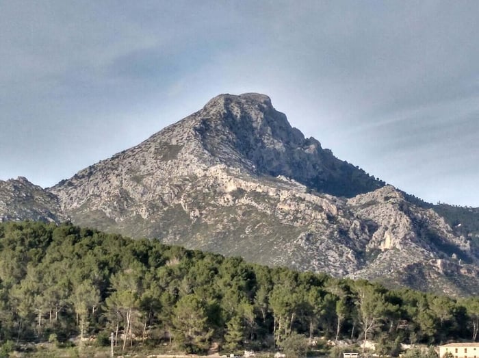
Puig Galatzó: The Mountain That Defines the Southwest Mallorca Skyline
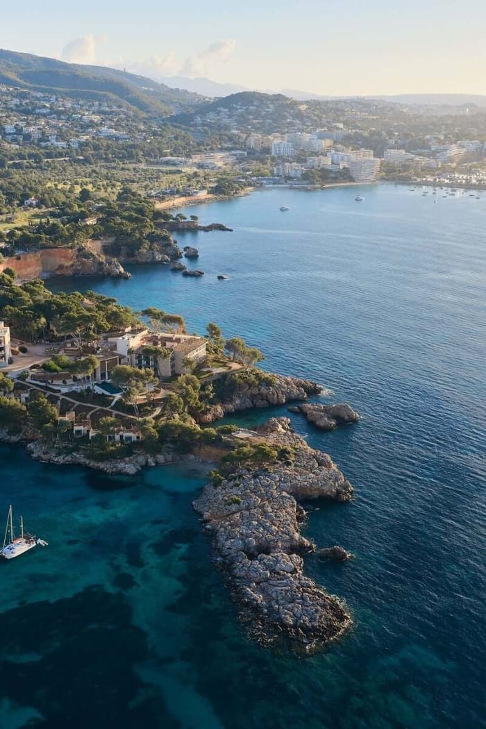
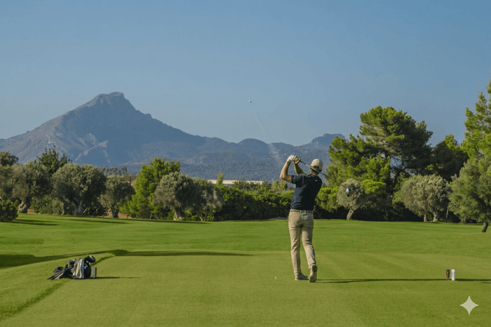
From Santa Ponsa beach, from the fairways of Golf Santa Ponsa I, from the Ma-1 motorway between Palma and Andratx — there is one peak that dominates the view inland. Puig Galatzó stands at 1,026 metres above sea level, the highest point in the Serra de Tramuntana within the Calvià and Andratx municipalities, and one of the most visually commanding summits on the island.
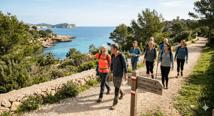
Most southwest residents have seen it thousands of times without ever thinking about climbing it. They should. The ascent from Calvià village is one of the most rewarding half-day walks in the southwest, and the views from the summit — over the Bay of Palma, the western coastline and on clear days toward Ibiza — justify every step.
Thinking about buying or selling in Mallorca?
The Mountain
Puig Galatzó is a limestone peak in the western section of the Serra de Tramuntana, the UNESCO World Heritage mountain range that runs the length of the northwest coast. The western Tramuntana is less visited than the central range around Sóller and the Gorg Blau reservoir — which makes Galatzó quieter on most days than the more famous Tramuntana summits further north.
The mountain gives its name to the Galatzó nature reserve, a protected area of around 1,200 hectares covering the slopes of the peak and the surrounding countryside. Within the reserve, the traditional finca of Son Fortuny sits at the foot of the northern approach, used historically as a waypoint for walkers and shepherds crossing between the coast and the interior.
The terrain on the upper slopes is typical Tramuntana: exposed limestone karst, low scrub, wild rosemary and thyme giving way to bare rock near the summit. The last section requires some basic scrambling — hands on rock — but no technical climbing equipment. A reasonable level of fitness and good footwear are what the mountain demands.
The Route from Calvià Village
The most direct ascent from the southwest begins in or near the village of Calvià — the historic capital of the municipality, 6 kilometres inland from Santa Ponsa. From Calvià, the route heads northwest through agricultural land and pine forest before entering the nature reserve and climbing toward the ridge.
The full ascent from the road near Calvià to the summit and back is typically 12 to 14 kilometres and takes between 4 and 6 hours depending on pace and fitness. The elevation gain is around 800 metres from the starting point near the village. It is a genuine mountain walk rather than a stroll — appropriate preparation is essential.
An alternative approach comes from the northwest, starting near the Es Capdellà road and passing through the Galatzó estate. This route is longer and requires checking access conditions in advance, as parts of the estate are privately managed.
Practical Notes
The mountain should only be attempted in good weather. The limestone summit can be slippery when wet and exposed to strong winds on the ridge. Summer ascents should start before 7am to avoid the worst of the midday heat — the exposed upper section offers no shade. Carry at least two litres of water per person; there are no reliable water sources on the route.
Good walking shoes or trail running shoes are adequate for most of the route. The final scramble to the summit benefits from boots with ankle support. Poles are useful on the descent, which is steep and loose in places.
The Wikiloc platform has several user-contributed GPS tracks for the Puig Galatzó ascent from different starting points, which can be downloaded for offline navigation before setting out. The Calvià council's walking route publications include the mountain in their municipal trail network.
What You See from the Top
On a clear day from the summit of Puig Galatzó, the view east takes in the full arc of the Bay of Palma — Palma cathedral visible in the distance, the airport approach path marked by descending aircraft. To the south, the Santa Ponsa bay and the Cala Figuera headland are laid out below. To the west, the coastline runs toward Port d'Andratx and the cliffs above Sant Elm. On the clearest days, Ibiza is visible on the horizon.
To the north, the main Tramuntana ridge stretches toward Puig Major — at 1,445 metres the highest point in the Balearics — with the characteristic serrated limestone silhouette that defines the island's mountain profile.
It is one of those views that reframes how you understand a place. The southwest looks very different from 1,026 metres than it does from sea level.
The Mountain and the Southwest
Puig Galatzó is visible from virtually every point in the southwest — it appears in the background of property photographs, behind golf courses, above the treeline from Santa Ponsa's residential streets. For residents, it is a constant presence that most never examine closely.
Climbing it once changes that. The mountain becomes a reference point rather than a backdrop. And for buyers considering the southwest, the combination of beach, golf, marina and an accessible mountain wilderness within a short drive of home is part of what makes this corner of Mallorca genuinely distinctive.
Imperial Properties has been helping people find homes in the southwest since 1985. Browse current listings at imperial-properties.com or get in touch with the team directly.